Trakkit in Action
Discover some of Trakkit's main features.
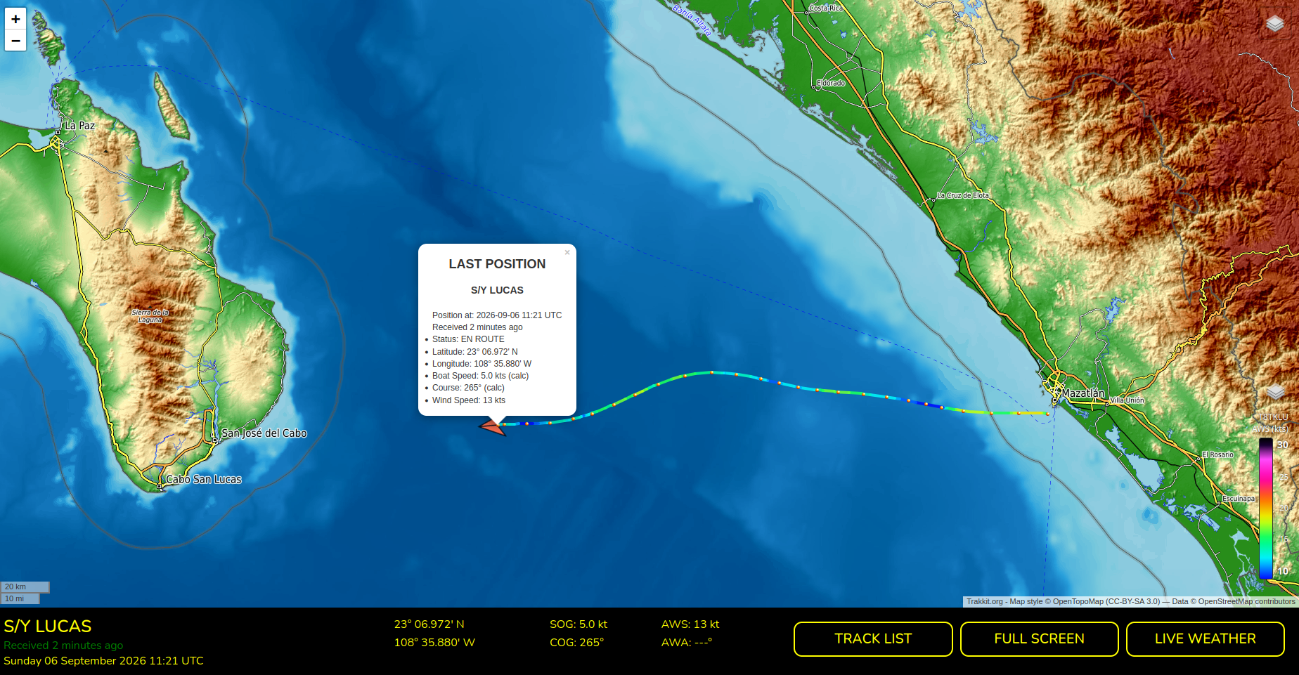
Follow a Boat in Real Time
Display the current position of a boat together with its active LiveTrack. The boat marker is oriented according to its COG, making the current direction immediately visible. The boat popup displays the latest available navigation data, including latitude, longitude, SOG and more.
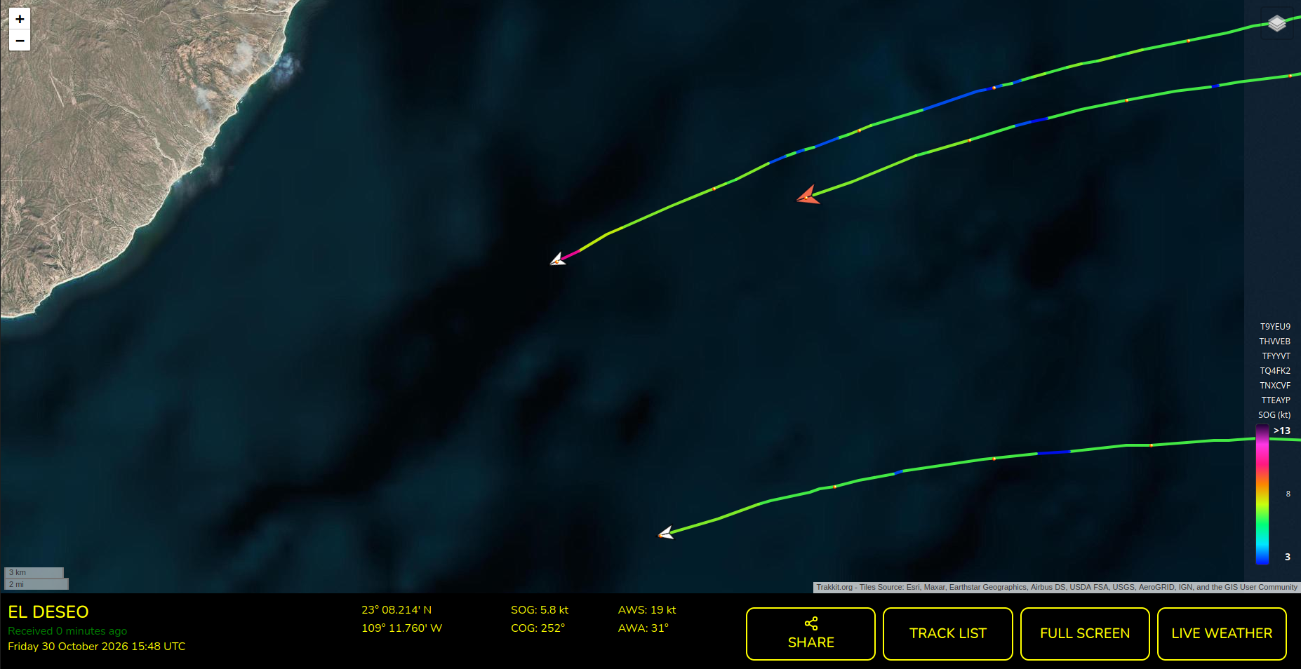
Follow your fellow boats on the Same Map
Use Multitracks to combine tracks from different boats into a single Multi-Track. And follow your fellow boats on the same map. Compare your progress and see how you are performing relative to one another.
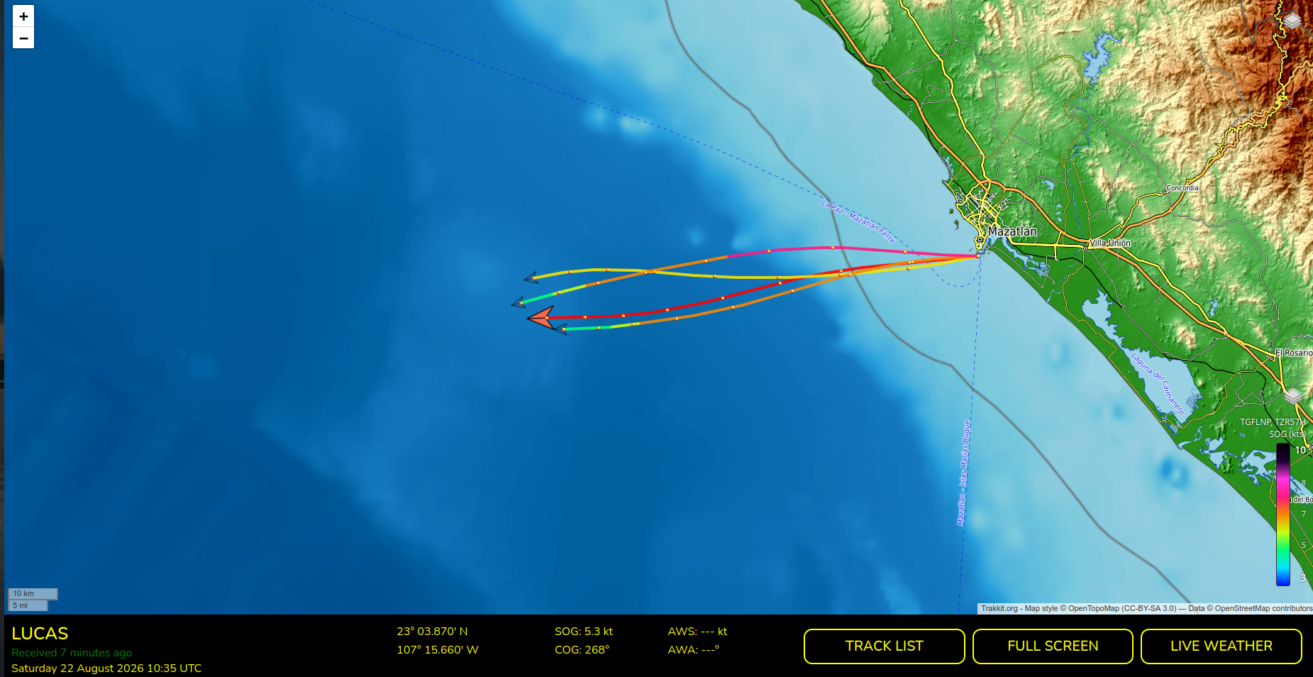
SOG, AWS, or Plain Track Colors
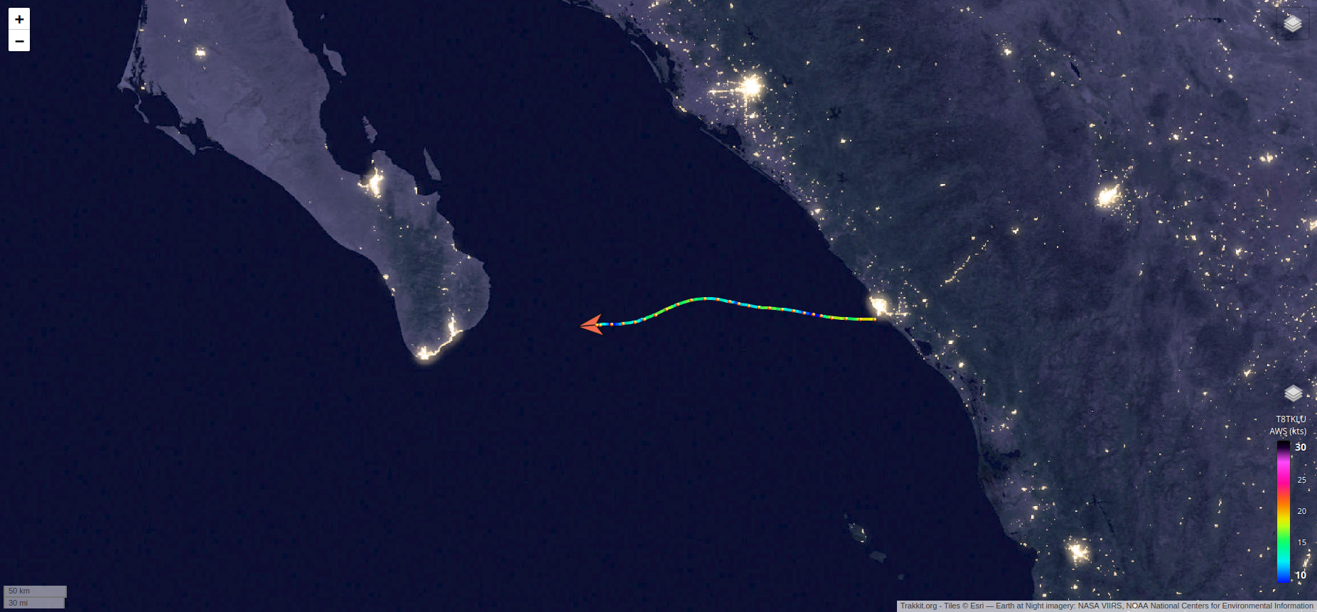
Customize your track colors to suit your preferences: choose a solid color for simplicity, or a multicolored track based on boat speed (SOG) or apparent wind speed (AWS). Color-coded tracks provide an instant visual overview of speed variations and wind conditions encountered throughout your journey.
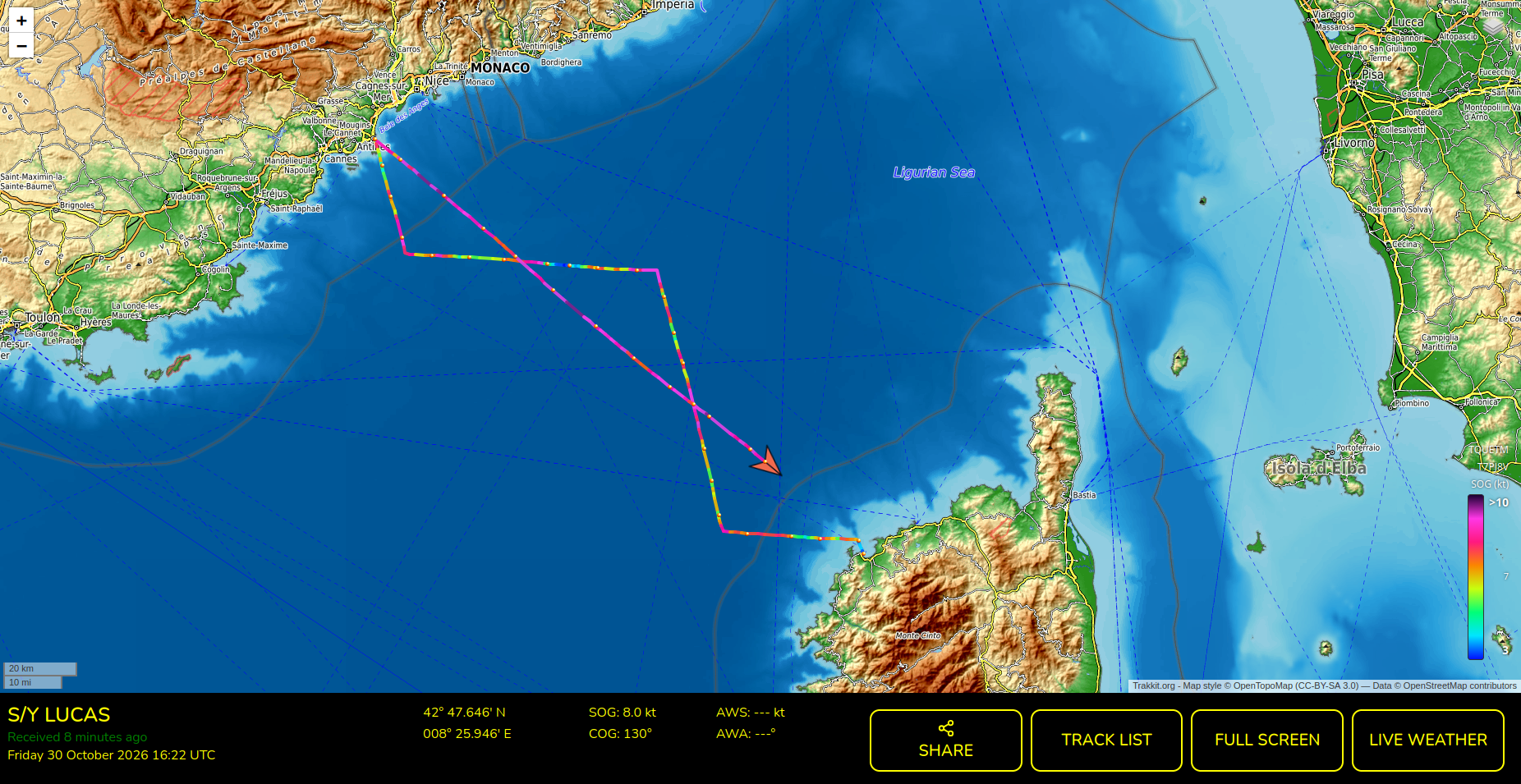
Combine your tracks
Overlay your past tracks on your current LiveTrack to compare routes, speeds, and performance, or follow the path of a previous voyage.
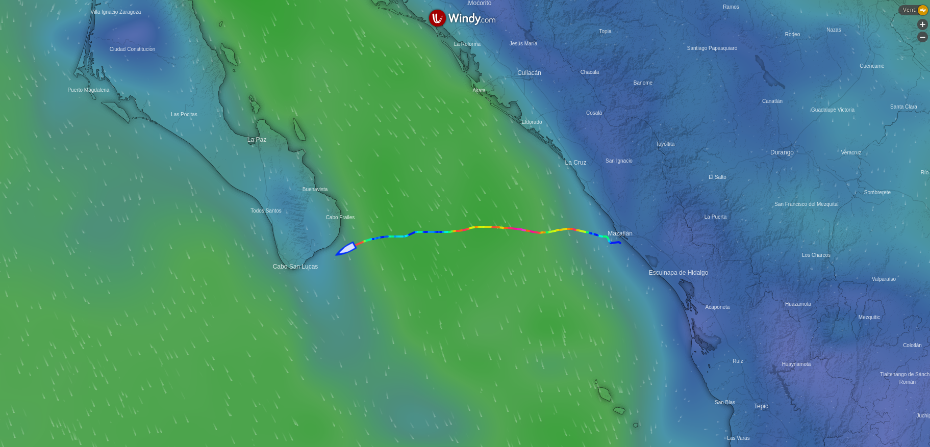
Weather (and forecasts)
View current weather conditions and forecasts powered by the GFS weather model, thanks to Windy.com.
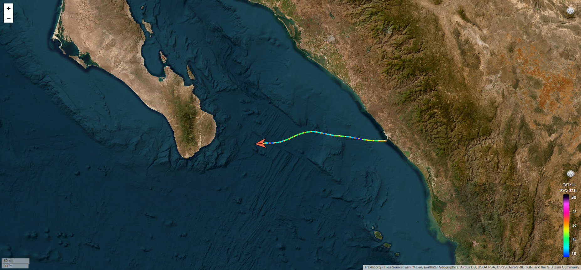
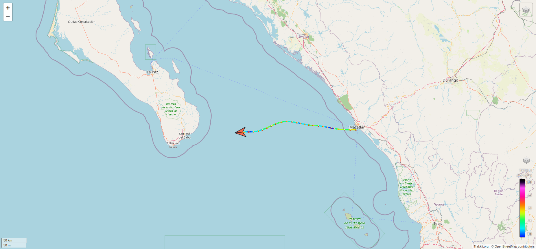
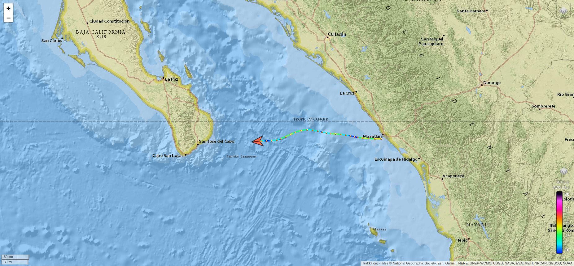
Multiple Map Layers
Switch between several map backgrounds depending on your needs, including OpenStreetMap, Stadia Maps, Esri satellite imagery, NASA Earth imagery, and more.
Share!
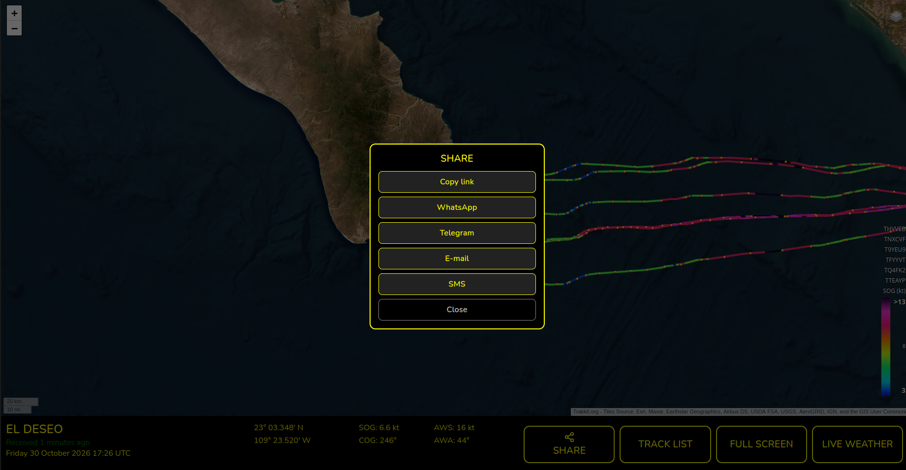
Easily share your location with friends via social media or email. You can also embed it on websites, blogs, or personal pages.